
Study reference: a geographical reference of 19 October 2026 | Act: 2016
Actual publication date: 20 October 2026
Geography: drainage systems, river basins and waterways
Study Reference:
The Barak is a river connected to the drainage system of north-eastern India and Bangladesh. It is important to identify separately its source, its cross-border names, its basin and the designated stretch of the National Waterway. This is a geographical reference article of 19 October 2026, not news of a new river declaration or a new law made that day.
Quick Identification:
According to the official water resources description, the Barak rises in the hills of Manipur, south of Mao in the Senapati district. The source state is Manipur; an important flow in Assam does not mean the source is in Assam.
In Bangladesh, the flow connected to the Barak proceeds under the names Surma and Kushiyara and later joins the Meghna system. The Meghna finally falls into the Bay of Bengal. These names should not be treated as separate, unrelated systems.
According to the IWAI, the Barak's Lakhipur-Bhanga stretch is the 121 km long National Waterway-16. Its reference is the National Waterways Act, 2016. 121 km is not the total length of the whole basin or of the river from its source to the sea.
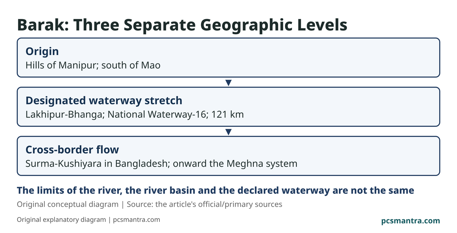
Source: the hills of Manipur; south of Mao
The waterway's designated stretch: Lakhipur-Bhanga; National Waterway-16; 121 km
Cross-border drainage: the Surma-Kushiyara in Bangladesh; the Meghna system further on
The river, the river basin and the notified waterway's stretch are not one
The Difference Between the River, the Basin and the Waterway:
A river is the main stream of flowing water. A river basin is the area from which water flows towards the main river and its tributaries. The basin's boundary need not coincide with a political state boundary. Whichever state the source is in, the whole basin is not only in that state.
A National Waterway is the legal identity of a notified navigation stretch. In the Barak's case, the mention of Lakhipur-Bhanga's 121 km is for this stretch. This does not include its every tributary or the whole basin in that waterway.
The Basin's Spread:
The official description says the "Barak and others" basin extends over parts of India, Bangladesh and Myanmar. In India, parts of Meghalaya, Manipur, Mizoram, Assam, Tripura and Nagaland are said to be in it.
This is the basin's boundary. It does not follow that the Barak's main stream flows in all three countries and in all six Indian states. The main stream's route and its complete catchment system are separate pieces of information.
Avoid Confusion in the Examination:
Manipur: the source. Lakhipur-Bhanga: the designated stretch of National Waterway-16. Surma-Kushiyara: the names of the connected flow in Bangladesh. All three have different purposes.
Static geographical facts and the Act reference have been placed here. The old government page's work-progress figures have not been presented as today's achievement. Inconsistent figures such as the river's total length and elevation, and unclear terminal connections, have not been included.
Prelims Practice Questions
Question 1. Consider the following statements about the Barak river:
Statement 1: Its source is in the hills of Manipur.
Statement 2: The Lakhipur-Bhanga stretch of National Waterway-16 is 121 km.
Statement 3: 121 km defines the extent of the entire international basin.
Which statements are correct?
(a) Only 1 and 3
(b) Only 1 and 2
(c) Only 2 and 3
(d) 1, 2 and 3
Answer and Explanation
Answer: (b). 121 km is the length of the designated waterway stretch, not of the whole basin.
Question 2. Consider the following pairs:
Pair 1: Lakhipur-Bhanga - National Waterway-16
Pair 2: Surma-Kushiyara - the Barak's connected drainage in Bangladesh
Pair 3: The hilly area south of Mao - the Barak's source reference
How many pairs are correctly matched?
(a) Only one
(b) Only two
(c) All three
(d) None
Answer and Explanation
Answer: (c). All three pairs are correct according to the relevant official descriptions.
Question 3. A river basin extends over parts of three countries. Which conclusion is the most appropriate?
(a) The main stream necessarily passes through all three countries
(b) Every part of the basin is one National Waterway
(c) The river must have three different sources
(d) The catchment area's spread should be examined separately from the main stream's route
Answer and Explanation
Answer: (d). The basin includes the tributaries' catchment too. Its spread is not proof of the main stream's route.
Sources:
India Water Resources Information System: the Barak and others basin
Download This Article: PDF