
Why in the News
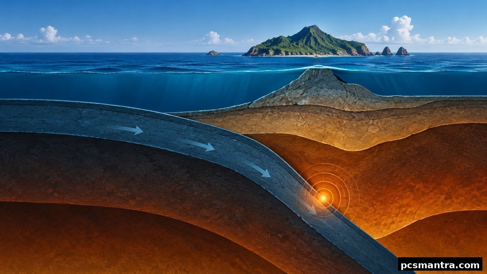
An earthquake of magnitude 6.5 struck the Bonin Islands region of Japan on 25 October 2026. According to the United States Geological Survey (USGS) event page, its time was 02:09:23 UTC, which was 7:39:23 am Indian time. The depth of the focus is recorded as 492.4 kilometres. The event offers a chance to understand deep earthquakes and the island geography of the Pacific Ocean together.
Why Are Magnitude and Depth Different?
Magnitude tells the size of an earthquake, while the depth of the focus tells where beneath the Earth's surface the earthquake originated. Two earthquakes with the same magnitude figure can have different depths. So 6.5 and 492.4 kilometres should not be treated as two measures of the same property.
Earthquakes by Depth
Shallow: up to about 70 kilometres from the surface.
Intermediate-depth: about 70 to 300 kilometres.
Deep: about 300 to 700 kilometres. The recorded depth of this Bonin event is 492.4 kilometres.
A simple illustration of the USGS depth classification. The sizes of the boxes are not in proportion to depth; the boundary points are approximate.
Where Are the Bonin or Ogasawara Islands?
Ogasawara is an island group of Japan. According to UNESCO, the World Heritage area lies in the north-western Pacific Ocean, about 1,000 kilometres south of the main islands of Japan. It includes more than 30 islands, which lie along the Izu-Ogasawara island arc and trench system. An island arc is a set of islands arranged in an arc-like chain in the sea.
Link with Biodiversity
UNESCO inscribed Ogasawara on the Natural World Heritage list in 2011. Its importance is linked to the evolutionary processes under way on oceanic islands and to many endemic species. An endemic species is one whose natural distribution is limited to a restricted geographical area. In geography preparation, it is useful to study the position of an island group together with its isolated ecosystem.
Sources and Limits of the Conclusion
The magnitude, time and depth of the earthquake are based on this USGS event record. Earthquake measurements may be revised later. No conclusion about casualties, actual damage or the tsunami situation has been drawn from the details given here. The purpose of this article is to explain the event and the geographical concepts linked to it, not to issue an active disaster warning.
The two are separate events.