
Why in the News
On 16 October 2026, an earthquake struck the Kamchatka region of Russia. The initial Pacific Tsunami Warning Center bulletin gave the magnitude as 7.0. The updated USGS record that was read gives the earthquake 76 kilometres north-east of Ozernovskiy a magnitude of 6.9 and a depth of 135 kilometres. Initial and revised estimates can differ; they should not be treated as separate events. This region is an important example of the joint study of plate boundaries, earthquakes and volcanoes.
First the basics
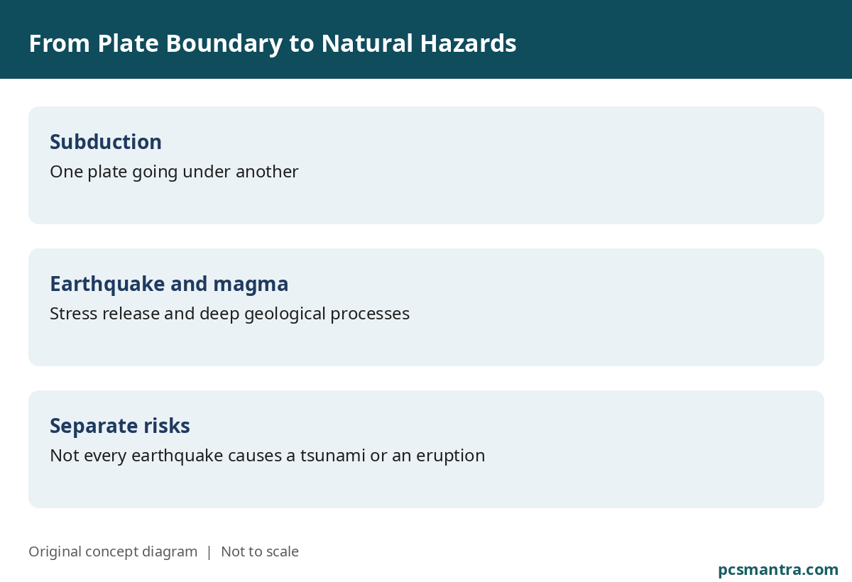
SubductionWhen one tectonic plate goes under another. The descent of an oceanic plate can be connected with earthquake and volcanic processes.
MagnitudeA measure related to the size of an earthquake or the energy released. It is different from the intensity of shaking felt at a particular place.
Depth of focusThe depth within the Earth where an earthquake begins. It is a concept different from the surface epicentre.
Why is Kamchatka's geography important?
The Kamchatka Peninsula of Russia's Far East lies in an active geotectonic belt of the Pacific region. UNESCO's World Heritage property Volcanoes of Kamchatka has six areas that together display many volcanic features. Active volcanoes, glaciers, hot springs and related landforms make it an important area for natural study. No unverified place map is given here.
Why earthquakes and volcanoes in one region?
The movement of plates builds up stress in rocks. A sudden slip on a fault releases seismic waves. The processes occurring at depth in subduction zones can also help form magma, which rises and produces volcanic activity. That is why both events can occur on an active plate boundary. Not every earthquake causes a volcanic eruption, and not every eruption is the result of a large earthquake at that very moment.
Does every large oceanic earthquake bring a tsunami?
No. Displacement of the sea floor, the depth of the earthquake, the type of fault and other circumstances matter in the making of a tsunami. A tsunami cannot be decided from magnitude alone. The initial bulletin of 16 October reported no tsunami threat for Guam, Rota, Tinian and Saipan. That was an assessment for those named areas; it should not be taken as a declaration that there is no threat anywhere in the world at any time.
The volcanic landscape and biodiversity
UNESCO gives special importance to the interaction of active volcanoes and glaciers in Kamchatka and to biodiversity. Creatures such as salmon fish, sea otters, brown bears and the Steller's sea eagle are connected with this natural system. The region is therefore not only an example of disaster but also of conservation and the connection among Earth processes.
The lesson of disaster management
Stopping an earthquake is not possible, but safe construction, monitoring and clear warnings can reduce risk. In the case of volcanic ash, separate preparation is needed for health, settlements and aviation. Scientific agencies can change estimates with new data. In communication, the initial estimate, the updated figure and the area-specific warning should remain clear, so that a small revision is not taken for a contradiction or a cover-up.
Connect the concepts in an answer
While reading Kamchatka, do not memorise only a place or one earthquake's magnitude. Build the connection from plate boundary to stress, earthquake, subduction and the volcanic landscape. Then add the difference between hazard and risk: a natural event is a hazard, while population, construction and preparedness decide how much damage it will cause.
Prelims: facts worth remembering
- Kamchatka is a peninsula located in Russia's Far East; because of an active plate boundary it is important in the study of earthquakes and volcanoes.
- The 16 October 2026 earthquake's initial PTWC magnitude was 7.0; in the updated USGS record that was read, 6.9 and a depth of 135 kilometres.
- Magnitude, the intensity felt at a place and the depth of focus are different concepts.
- Volcanoes of Kamchatka: a UNESCO World Heritage property that includes six areas.
- Not every large oceanic earthquake brings a tsunami; read the initial bulletin's threat assessment only up to the named areas.
Mains: answer outline
Mains practice: Why do earthquakes and volcanic activity occur together in subduction zones? Does every oceanic earthquake generate a tsunami? (150 words, 10 marks)
Answer Outline
Introduction: place the connection of earthquakes and volcanic processes with the plate boundary and subduction.
Main Body: connect stress and slip on a fault with earthquakes, and the processes at depth with magma; do not describe every earthquake as the cause of an eruption. For a tsunami, sea-floor displacement, depth and the type of fault matter; magnitude alone is not sufficient.
Conclusion: explain the need for risk assessment and clear warning by joining population, construction and preparedness with the natural hazard.
Sources
USGS: earthquake record us6000u2mq
USGS: 6.9 and 135 km on the updated listing page that was read
Pacific Tsunami Warning Center: initial bulletin, 16 October 2026
Download This Article: PDF