
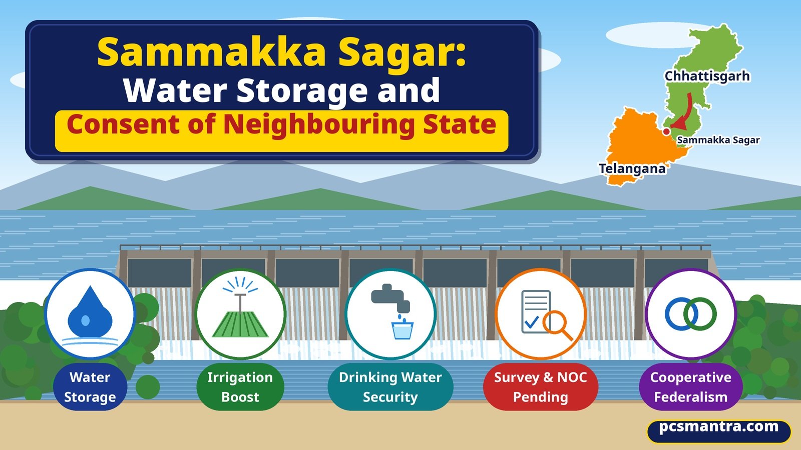
Why in News
Telangana Chief Minister A. Revanth Reddy met Chhattisgarh Chief Minister Vishnu Deo Sai in Nava Raipur on 17 November 2026. News reports say a key issue was Chhattisgarh's no-objection certificate (NOC) for full water storage at the Sammakka Sagar barrage on the Godavari.
Chhattisgarh's public relations department confirmed the meeting and dialogue on shared interests. The detailed survey and NOC position comes from news reporting. The development is not the grant of an NOC or completion of every project clearance.
Where Is the Project?
The barrage is at Tupakulagudem in Telangana's Mulugu district, on the Godavari. In this area the river forms the natural boundary with Bijapur district of Chhattisgarh.
According to the report, work began in 2017 and construction was completed in 2021-22, but full-capacity operation remains pending. Physical construction and full operation are different stages.
Why Is the Neighbour's NOC Needed?
The effects of increased storage need not remain within the state hosting a barrage. The reservoir and upstream rise in water level can affect agricultural, revenue or forest land across the boundary.
The news report says the Central Water Commission asked Telangana to obtain Chhattisgarh's NOC because full storage could submerge land in that state. The original letter was not independently obtained.
Key distinction: An NOC concerns a specific matter. It should not be treated as an automatic substitute for environmental, forest, land-acquisition or other required clearances.
What Do the Surveys Establish?
Backwater assessment: Examines how far water levels may rise behind the barrage and which areas may be affected. The report says IIT Kharagpur completed this study and submitted its report.
Cadastral survey: Helps establish plot boundaries, ownership and land categories, distinguishing private farmland, revenue land and forest land.
LiDAR survey: Uses light pulses for distance measurements to map terrain elevation. Accurate height data helps assess potential inundation.
Social Impact Assessment: Examines effects on people, livelihoods and communities associated with land acquisition. The report refers to a process involving five affected Gram Sabhas.
A Test of Cooperative Federalism
Uneven distribution: One state may receive much of the irrigation or storage benefit while people in another bear inundation costs.
Shared scientific evidence: Joint surveys can reduce disagreements about the affected area and losses.
Community participation: Agreement between governments alone is not a complete policy response. Identifying affected households, involving Gram Sabhas and providing transparent compensation and rehabilitation matter.
Operational coordination: Water levels, flood warnings and emergency information also need coordination. These are policy recommendations, not claims that a joint operating agreement is already in force.
Way Forward
Completing the remaining surveys, verifying affected land and households, recording responsibilities and providing timely compensation and rehabilitation can create a sound basis for agreement.
Reports describe an effort to advance the NOC process by the next monsoon. This is not a firm deadline or an issued NOC. The exam lesson is that successful river infrastructure needs construction, scientific assessment and interstate consent.
Prelims Practice Questions
Question 1. With reference to the Sammakka Sagar barrage, consider the following statements:
Statement 1: It is located on the Godavari River.
Statement 2: The current full-storage discussion concerns Telangana and Chhattisgarh.
Statement 3: A neighbouring state's NOC automatically amounts to every environmental and forest clearance.
Which of the statements given above are correct?
Answer and Explanation
Correct answer: (a)
Statement 1 is correct: the barrage is on the Godavari.
Statement 2 is correct: the current discussion is between Telangana and Chhattisgarh.
Statement 3 is incorrect: an NOC on one issue does not automatically replace other required statutory approvals.
Question 2. Consider the following pairs:
Pair 1: Cadastral survey - Plot boundaries and ownership
Pair 2: LiDAR - Terrain elevation measurements
Pair 3: Social Impact Assessment - Effects on people and livelihoods
How many of the pairs given above are correctly matched?
Answer and Explanation
Correct answer: (c)
All three pairs are correct. These surveys play different roles in identifying land, mapping terrain and understanding community impacts.
Mains Practice Question
How can scientific surveys and affected communities' participation strengthen cooperative federalism in interstate river projects? Explain with reference to Sammakka Sagar. (250 words, 15 marks)
Answer Outline
The benefits and costs of river projects cross state boundaries. Sammakka Sagar links storage benefits with effects on land in a neighbouring state.
Scientific basis: backwater, elevation and plot-level surveys.
Federal cooperation: shared data, the relevant commission and dialogue between states.
Social justice: affected households, Gram Sabhas and livelihoods.
Accountability: clear responsibilities for compensation, rehabilitation and costs.
Long-term operation: coordinated water levels and flood warnings.
Sound project governance combines construction with evidence, consent and fair rehabilitation.
Frequently Asked Questions (FAQ)
Which river hosts Sammakka Sagar?
It is on the Godavari at Tupakulagudem in Telangana's Mulugu district.
Why is Chhattisgarh's NOC being sought?
Reports say full storage could submerge land in Chhattisgarh.
Has the NOC been issued?
The available development concerns the process and further talks, not an issued NOC.
How do LiDAR and Social Impact Assessment differ?
LiDAR provides terrain-elevation data; Social Impact Assessment examines effects on people and livelihoods.
Sources
Download this article: PDF